Log in
All resources
Create a design
337 Free Artworks of Maps Of Lakes
maps in the library of congress
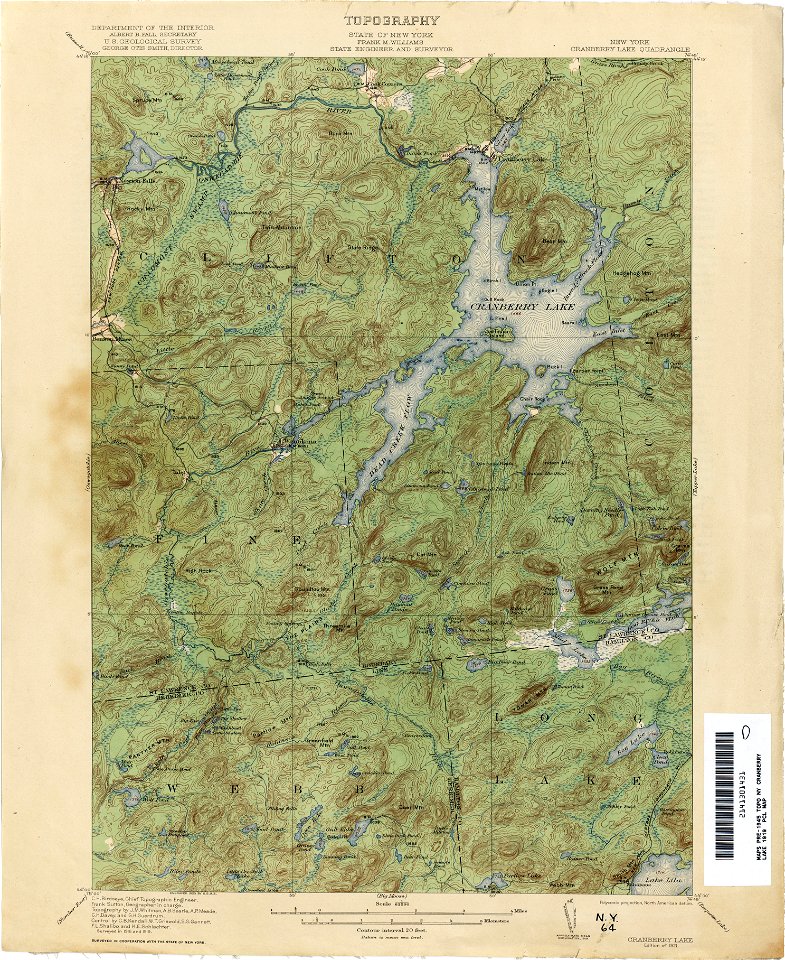
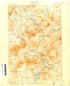
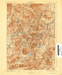
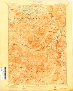
maps of the adirondack mountains
old maps of new york (state)
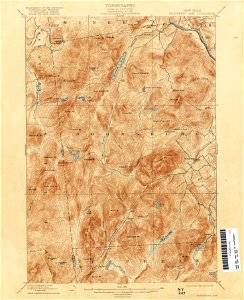
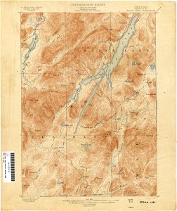
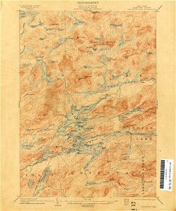
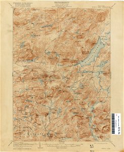
united states geological survey maps
topographic maps of new york (state)
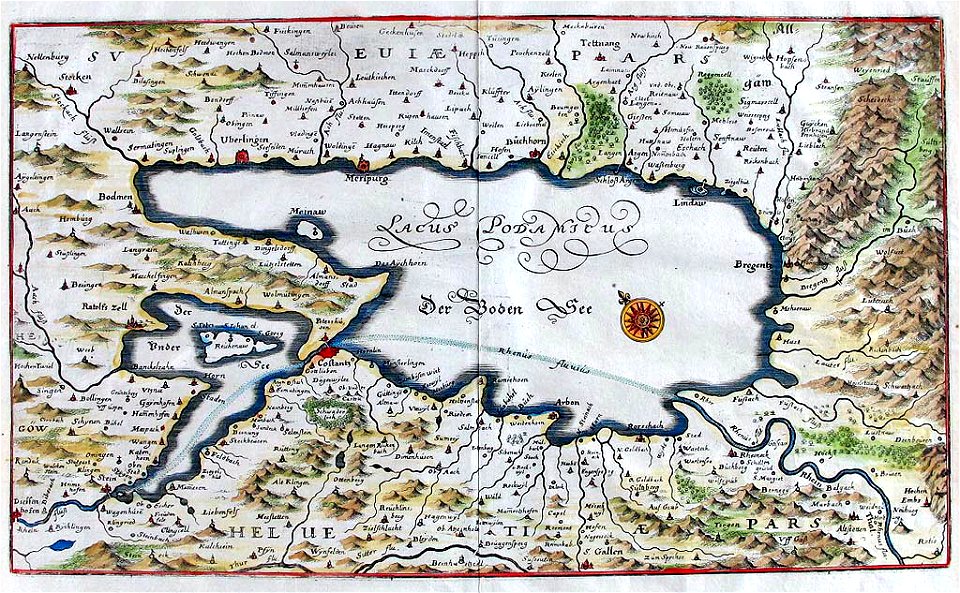
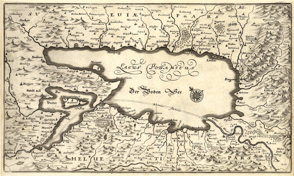
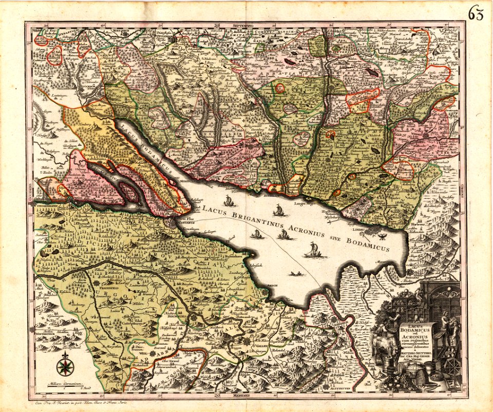
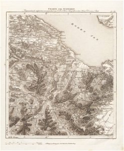
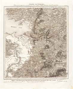
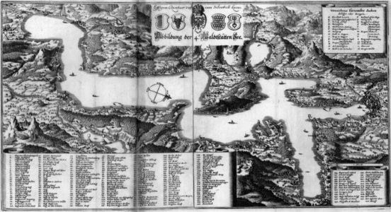
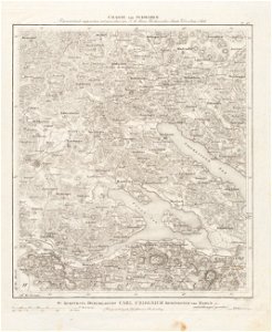
old maps of lake constance
old maps of the great lakes
lake parime
qinghai lake
old maps of bhutan
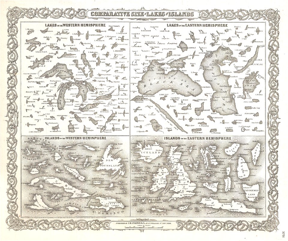
geographic comparison diagrams
1855 maps
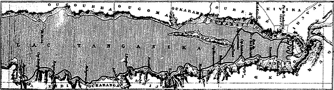
through the dark continent
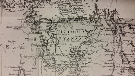
lake victoria
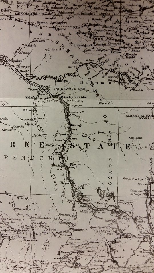
old maps of the democratic republic of the congo
lake tanganyika
maps of the adirondack mountains
old maps of new york (state)
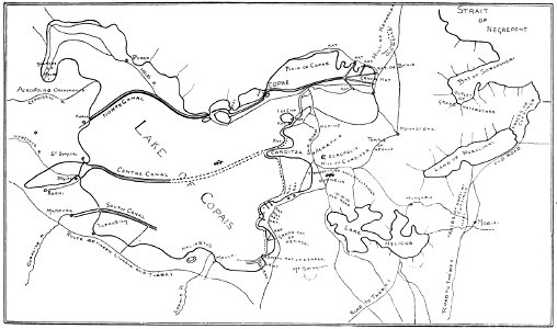
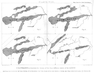
popular science monthly illustrations/volume 48
1896 maps
loon lake
new york
images uploaded as part of nlw - wmuk collaboration
cc-zero
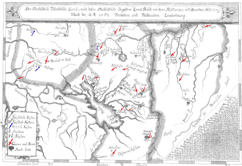
1670s maps of baden-württemberg
1672 maps
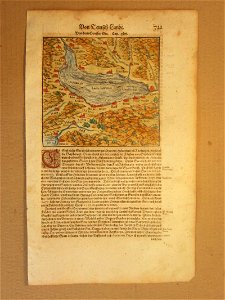
cosmographia (1600) by sebastian münster
old map
naval war on lake constance
old maps of lake constance
maps in the library of congress
1891 map
maps in the library of congress
1891 map
maps in the library of congress
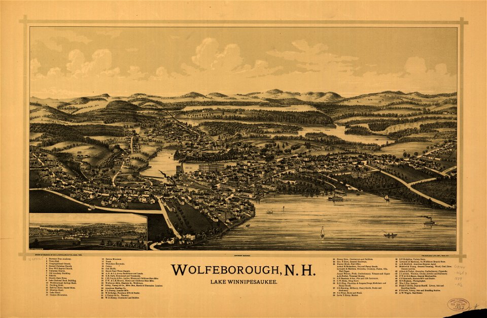
old maps of new hampshire
maps in the library of congress
old maps of new hampshire
matthäus merian
1672 maps
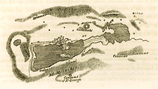
travels in sicily greece and albania
lake pamvotis
vättern
vänern
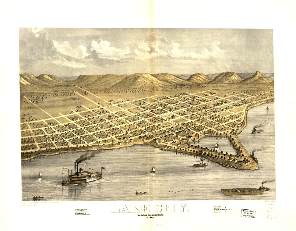
maps in the library of congress
1867 maps
maps in the library of congress
1867 maps
maps in the library of congress
new york
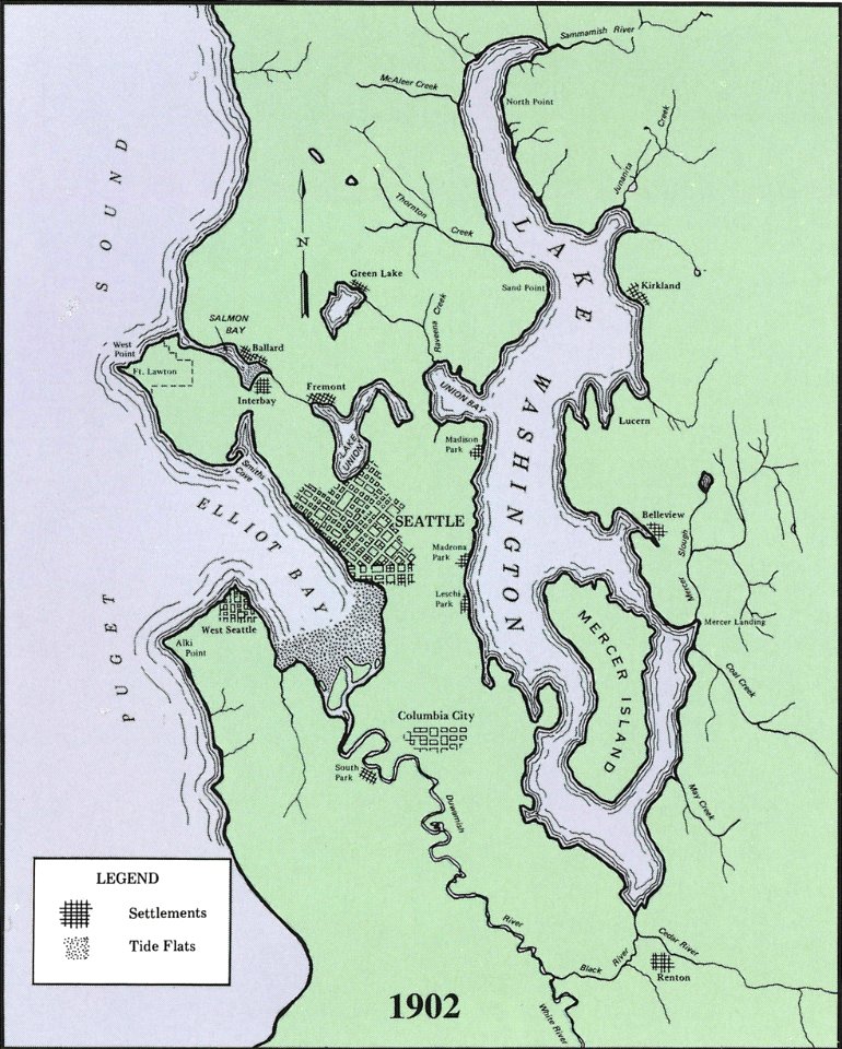
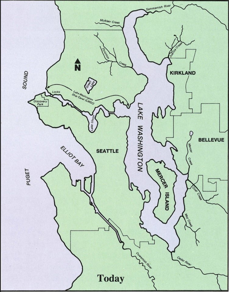
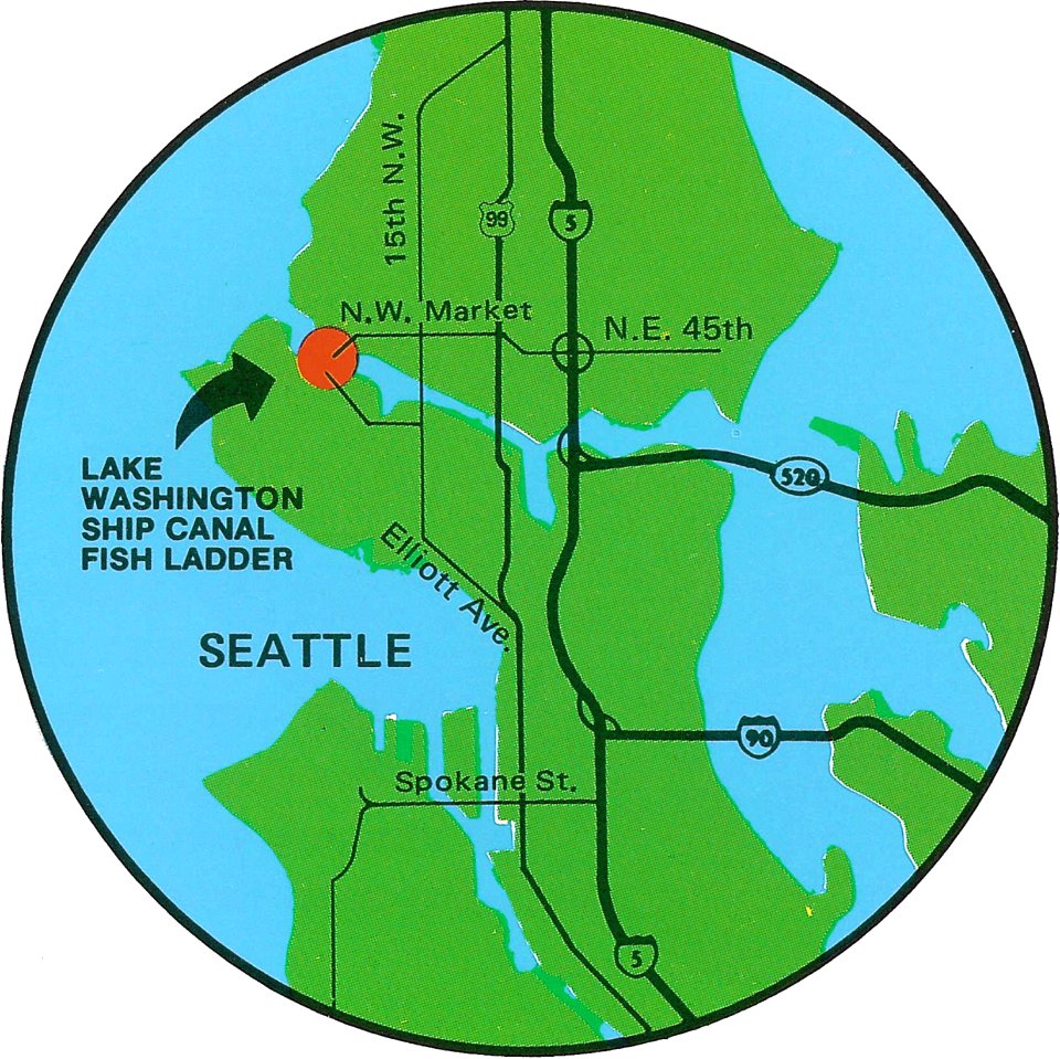
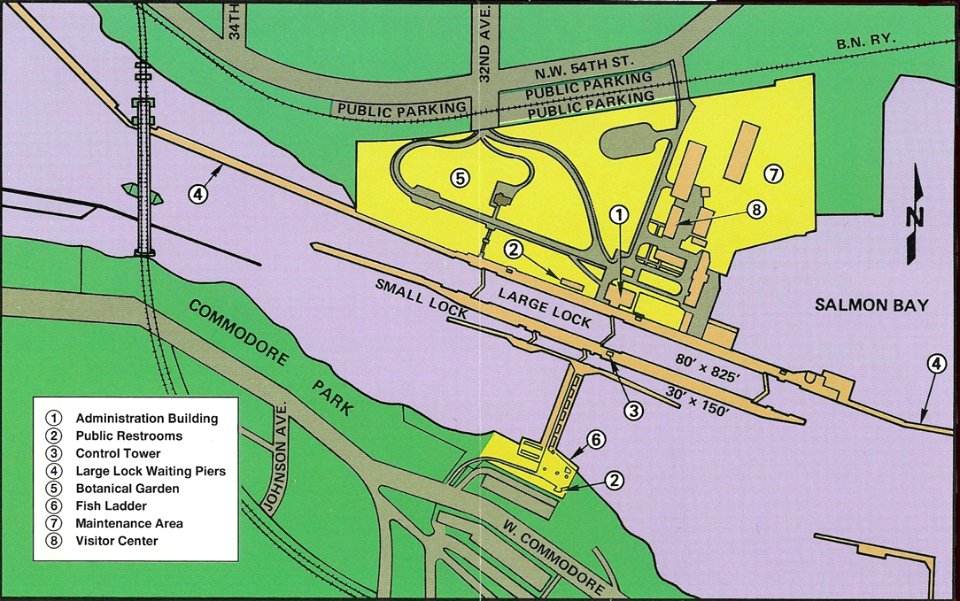
lake washington ship canal
1902 maps
drainage basin maps of north america
lake washington ship canal
maps made in the 16th century
ignazio danti
old maps of lake constance
maps by matthäus seutter
iroquois
ontario
maps of lakes of switzerland
pilatussee
maps in the library of congress
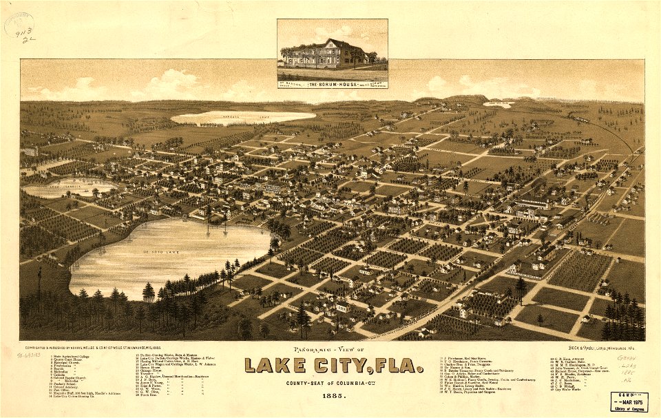
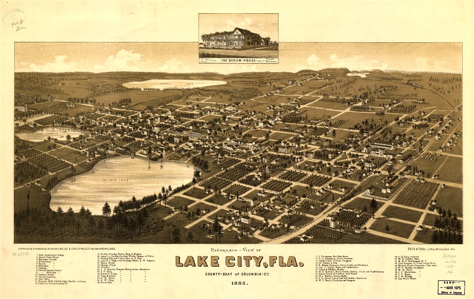
old maps of florida
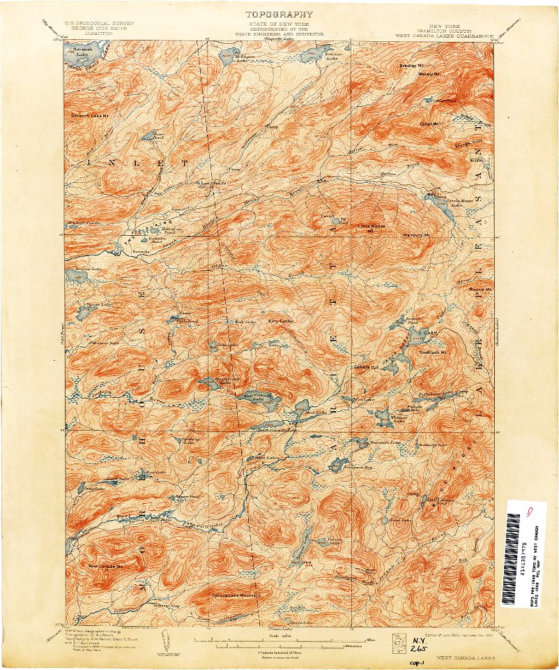
united states geological survey maps
old maps of new york (state)
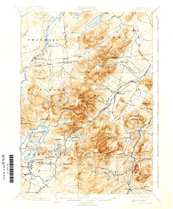
united states geological survey maps
old maps of new york (state)
united states geological survey maps
old maps of new york (state)
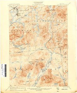
united states geological survey maps
topographic maps of new york (state)
united states geological survey maps
old maps of new york (state)
maps in the library of congress
old maps of florida
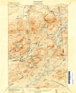
united states geological survey maps
old maps of new york (state)
united states geological survey maps
old maps of new york (state)
united states geological survey maps
old maps of new york (state)
united states geological survey maps
old maps of new york (state)
united states geological survey maps
old maps of new york (state)
engravings by william miller
maps of lakes
united states geological survey maps
old maps of new york (state)
18th-century maps of slovenia
1758 maps
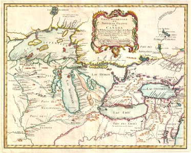
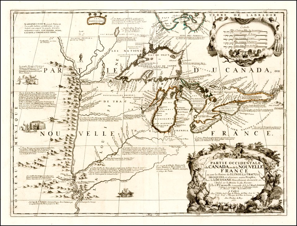
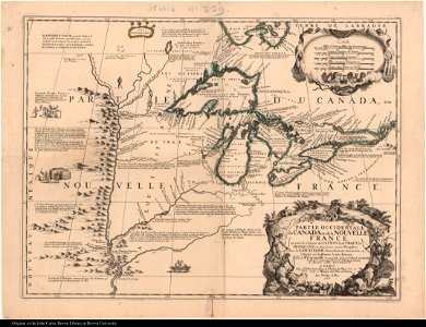
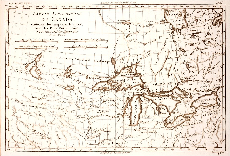
old maps of new france
maps by coronelli
fish ladders in the united states
1996 maps
maps in the library of congress
1867 maps
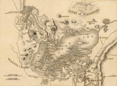
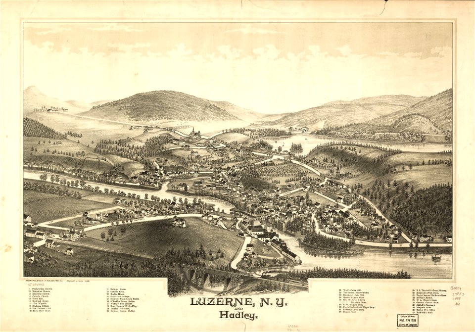
lake george, new york
1768 maps
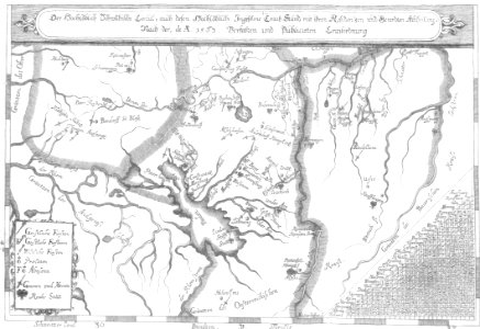
old maps of lake constance
old maps of switzerland
1760s etchings
1760 maps
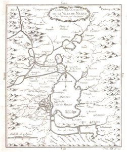
old maps of mexico
mexico
wisconsin
berlin
history of lindau (bodensee)
alter rhein
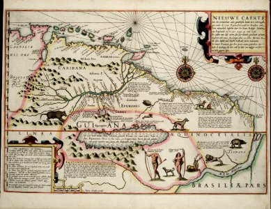
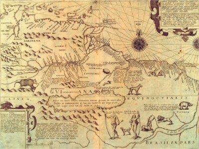
old maps of guyana
el dorado
old maps of lake constance
nobility of swabia
charte von schwaben (bohnenberger)
old maps of lake constance
rhaetiae et valesiae
merian helvetiae
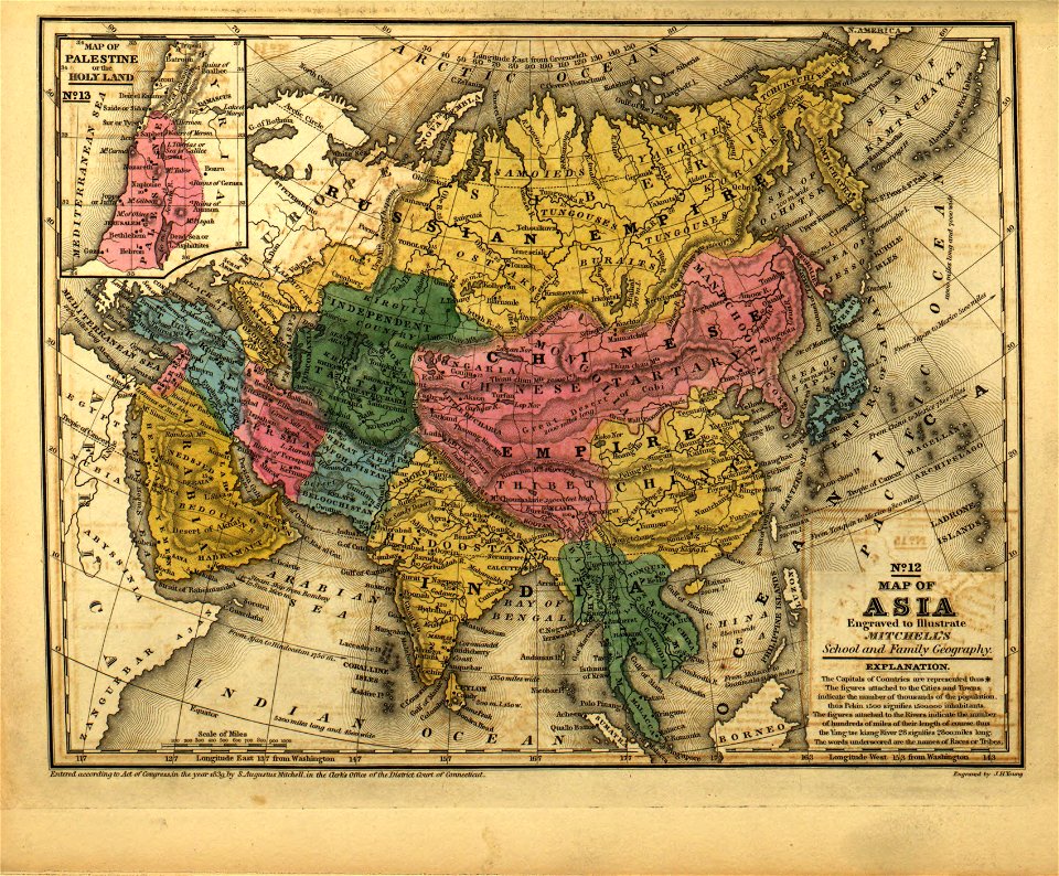
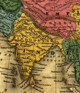
old maps of india
qinghai lake
old maps of india
qinghai lake
ballard locks
fish ladder
old maps of india
qinghai lake
old maps of lake constance
reichenau island
gabriel bodenehr
lindau island
old maps of new france
maps by coronelli
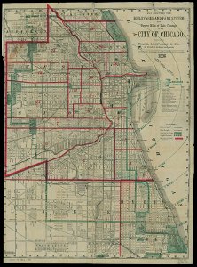
chicago and the midwest
newberry library
popular science monthly illustrations/volume 13
drainage basin maps of north america
old maps of new france
maps by coronelli
1780 maps of wisconsin
1780 maps of montana
old maps of ladakh
qinghai lake
maps and topographical views by joris hoefnagel
16th-century art
mobile river
alabama
maps in utrecht university library
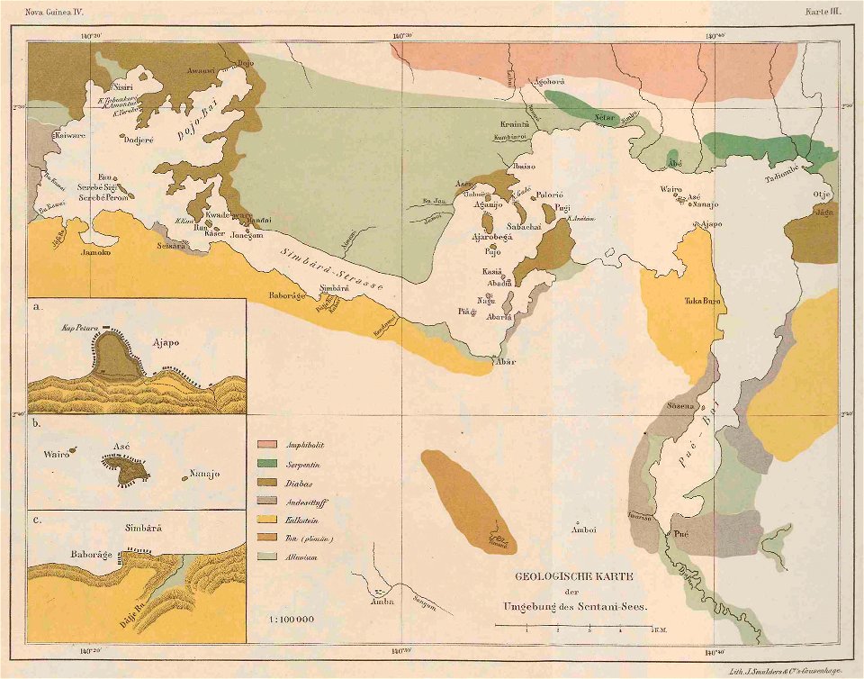
lake sentani
maps made in the 17th century
gerard valck
how i found livingstone
djvu files in french
friedrichshafen in art
maps of bodenseekreis
maps made in the 17th century
lake garda
theodor de bry
amazon
temple of khonsu in karnak
lepsius-projekt - maps
maps of bodenseekreis
history of bregenz
old maps of the democratic republic of the congo
through the dark continent
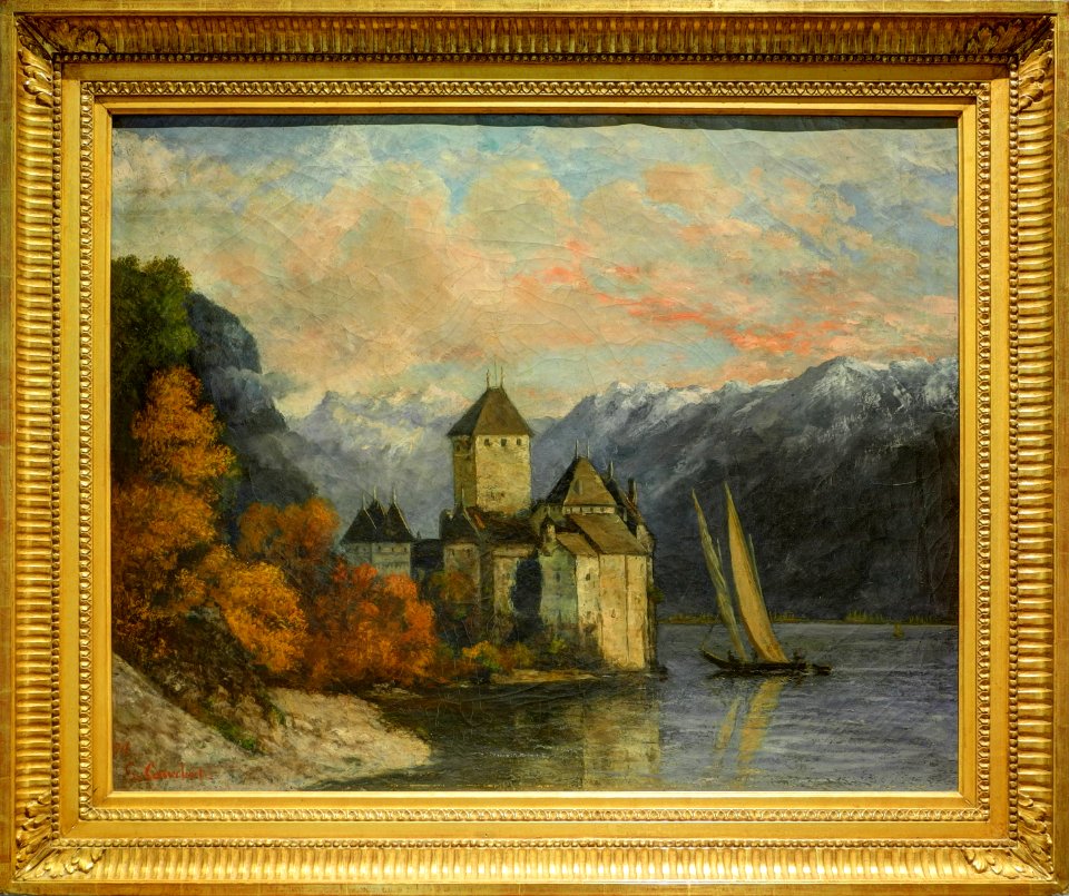
1870s paintings by gustave courbet
paintings of château de chillon
old constellation maps
maps by samuel dunn
novus atlas sinensis
old maps of jiangsu
robert wallis (engraver)
henry warren
robert wallis (engraver)
henry warren
1850s maps of ontario
maps by john tallis
novus atlas sinensis
maps of yangzhou
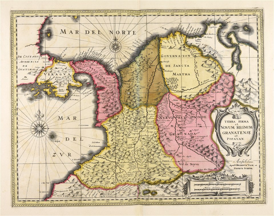
16th-century maps of guyana
old maps of french guiana
old maps of the province of bergamo
1580 maps
19th-century maps of china
richard jarman
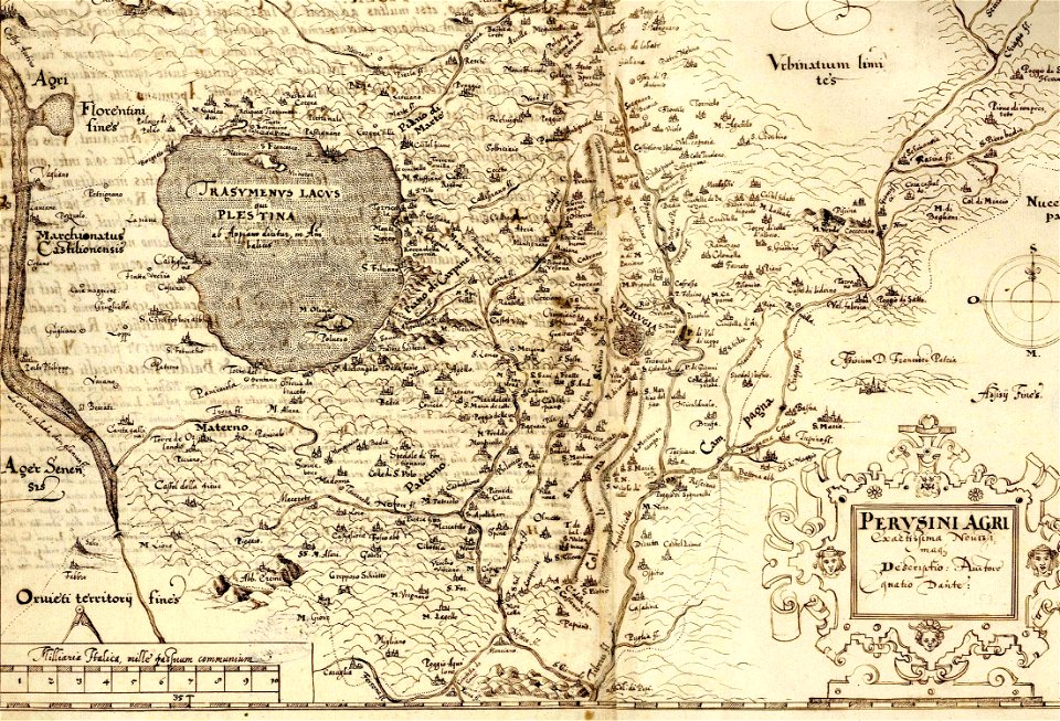
perusinus ac tifernas (galleria delle carte geografiche)
battle of lake trasimene
old maps of french guiana
1630s maps of brazil
maps by john cary
county of tyrol
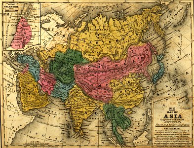
sanson maps of asia
company land
maps of lake chad
gustav nachtigal
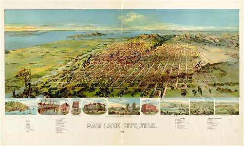
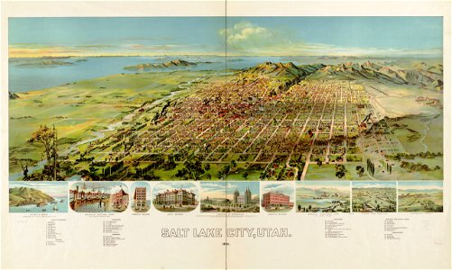
1890s maps of the united states
maps of the thousand islands
jan karel donatus van beecq
hernán cortés
illustrations from the english lakes (1905)
maps of the lake district
18th-century maps of china
18th-century maps of asia
atlas maior, vol 11 (asia) - joan blaeu, 1667 - bl 114.h(star).11
1667 maps
maps in the british museum
jan claesz ten hoorn
old maps of lake constance
baroque
maps by willem and johannes blaeu
copper engravings
1 - 100 of 337
Next page
/ 4